1) Using Windows Explorer, right click on the required photo and from the displayed menu select Properties.
2) In the resulting Properties dialog, select the Details tab and scroll down to the GPS section, similar to that shown below.

3) Write down the Latitude and Longitude numbers and convert then to DMS format (Degrees, Minutes, Seconds) with Latitude first and Longitude second, e.g. 41;53;45.4757999999856 12;28;39.8559999999997. The last long number in the Latitude and Longitude can be rounded down to say 4 decimal places if a less accurate location is good enough.
4) Replace the semicolons with a space and add an apostrophe to the second number and a quotation mark after the last number for both Latitude and Longitude (minutes and seconds symbols), e.g. 41 53’ 45.4757999999856” 12 28’ 39.8559999999997”.
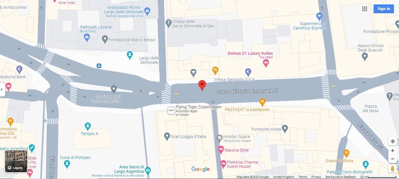
5) Copy that modified Latitude and Longitude reference and paste it into a Google Maps Search Box and it should show the location where the photo was taken. The example given is for outside The Push Shirt Shop in the Corso Vittorio Emanuele II in Rome as shown below.
(C) M.T. Gibbs 10/11/2023